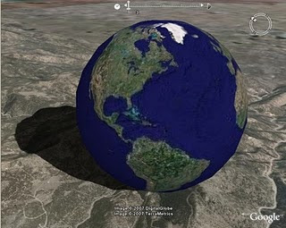
1- Open Google Earth
2- Find following places-Corn Palace Mitchell SD, Yellowstone National Park Wy, Devils Tower Wy, Deadwood SD,
Ellworth Airforce Base)
, Badlands,Mt. Rushmore) Standing Rock Sioux Indian Reservation, Rosebud Sioux Indian Reservation, Custer State Park
3- Use a PLACE MARK for each locations
4-Open WORD document Table 3 columns,8 rows & save a picture/street view picture of each place
5- Use RULER then PATH and measure in miles from you home town to each and put on WORD
6-Copy and Post to comments

No comments:
Post a Comment
Note: Only a member of this blog may post a comment.